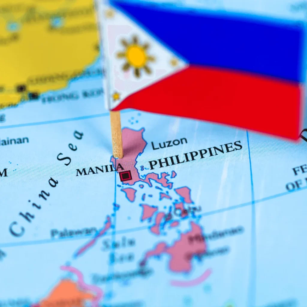
A lively fusion of indigenous culture, Spanish influence, and modern evolution characterizes the Philippines, an archipelago in Southeast Asia. Nearly 7,000 islands, each with its own distinct personality, history, and natural beauty, make up the intriguing mosaic that is the Philippine map. We examine the spatial organization, diversity of its areas, and contribution of the Philippine map to the Asian cultural tapestry as we go further into the map.
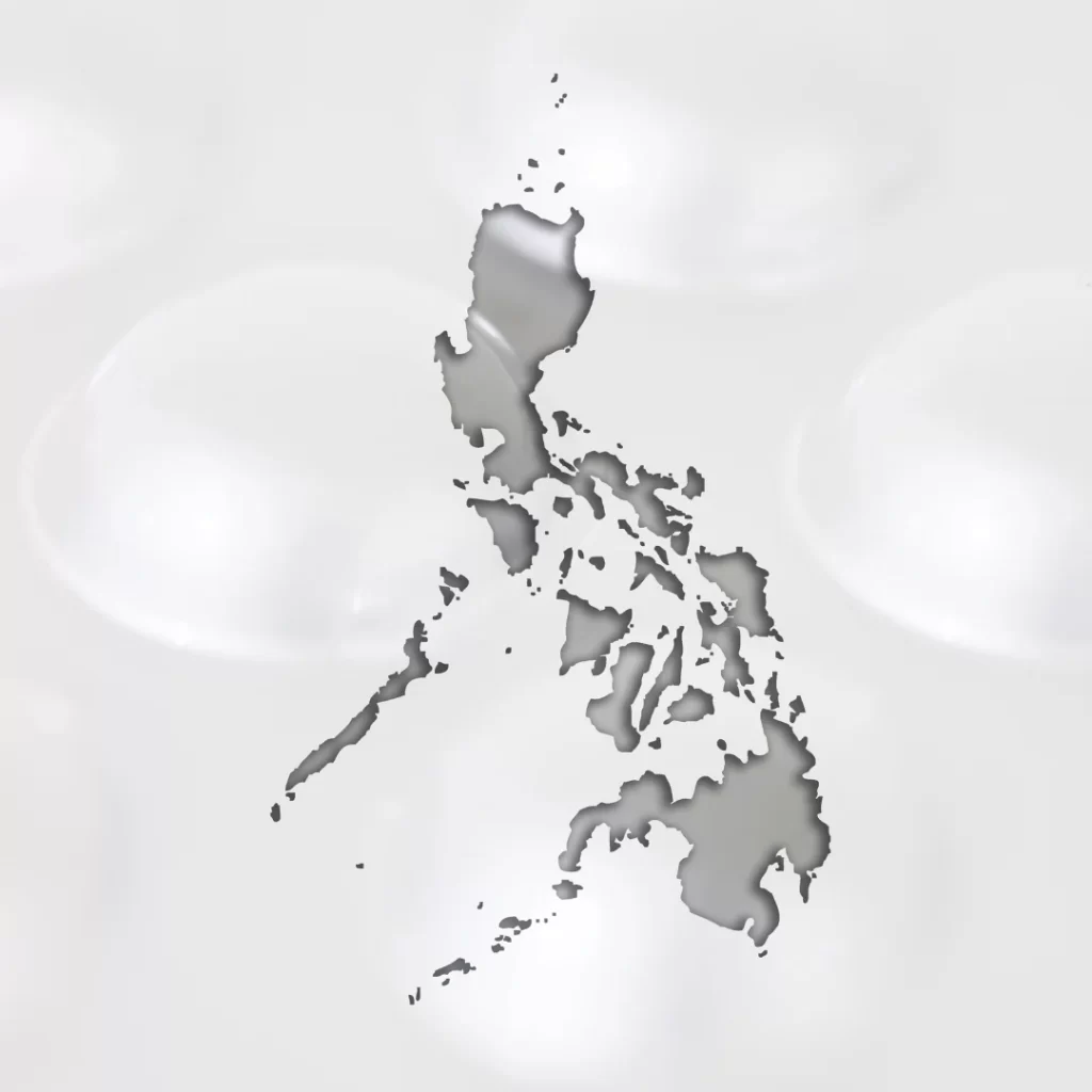
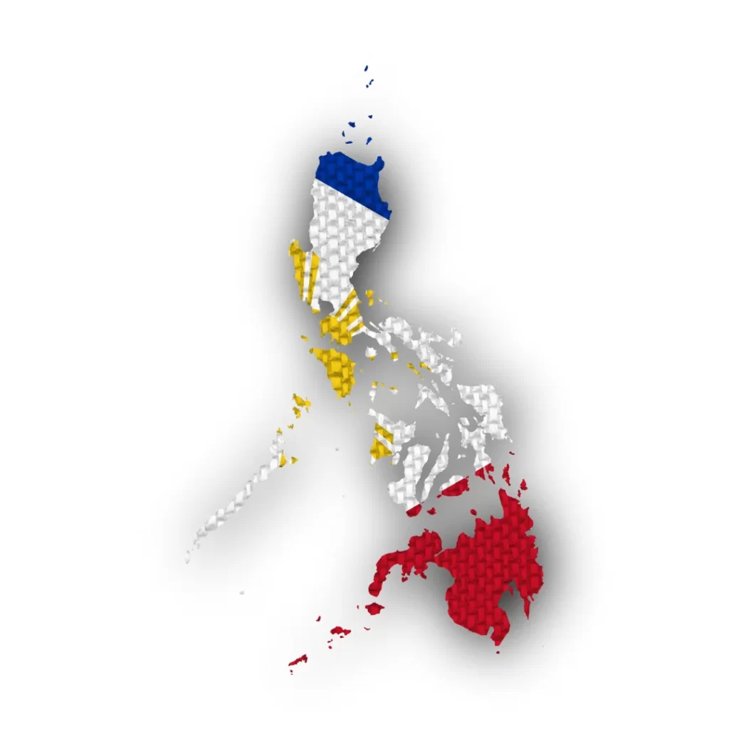
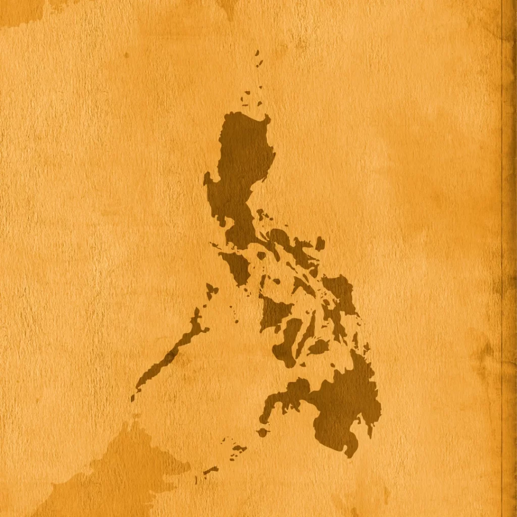
Various Philippines Map
If you’re keen to learn more about the intricate geography and rich cultural heritage of the Philippines, I’ve compiled a wide range of Philippine maps that make excellent resources. From topographical details, province boundaries, and regional distinctions to the locations of historical landmarks, natural marvels, and cultural heritage sites, these maps capture a variety of features of the nation. For those with an inquisitive mind, scholars, travelers, or students, these maps provide an all-encompassing visual aid for comprehending and admiring the diverse terrain and abundant legacy of the Philippine archipelago. A greater sense of connection to the land and its people is fostered by the wide variety of maps that are available, which offer an enhanced viewpoint and help reveal the mysteries and tales that each island has to offer.
Geographical Layout
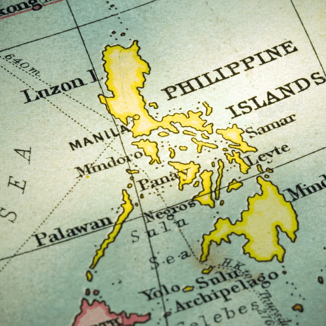
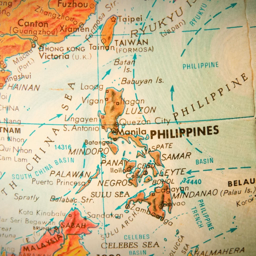
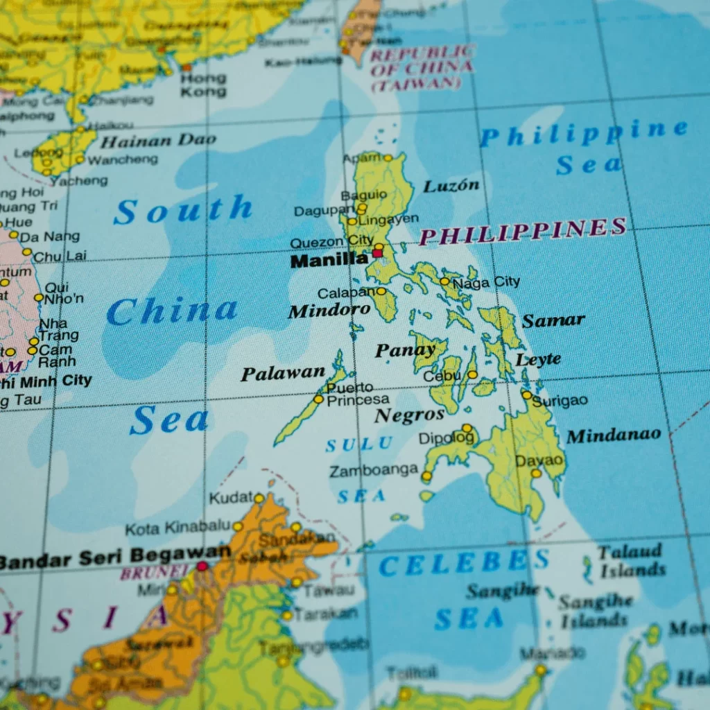
The South China Sea to the west, the Philippine Sea to the east, and the Celebes Sea to the south encircle the strategically placed Philippine archipelago in the western Pacific Ocean. It is separated geographically into three primary divisions: Mindanao, Visayas, and Luzon. These divisions are further separated into 17 regions, 81 provinces, and a large number of cities and municipalities.
Luzon
The Philippines’ largest and most populated island, Luzon serves as the nation’s political and economic hub. It is home to the nation’s capital, Manila, and is distinguished by a blend of thriving cities, important historical sites, and gorgeous natural settings.
Visayas
Group of islands located in the middle of the archipelago. Renowned for its stunning shorelines, lively celebrations, and gracious hospitality, it serves as a major center for both tourist and cultural heritage.
Mindanao
Known for its abundant natural resources, many ethnic cultures, and abundant agriculture, Mindanao is the second biggest island in the Philippines. It is a mash-up of many indigenous ways of life.
Different Regions
Due to a combination of many ethnic groups, different geography, and a rich history, every region on the map of the Philippines has its own distinct character. For example, the Davao Region in Mindanao is well known for being the Philippines’ durian capital, whereas the Cordillera Administrative Region in Luzon is well known for its terraced rice fields and traditional customs.
Wonders of Nature and Biodiversity
The world-famous Banaue Rice Terraces in Luzon, the subterranean river in Palawan, and the chocolate hills in Bohol are just a few of the natural wonders found in the Philippines’ diverse geography. The nation is a diver’s paradise because of its location in the Coral Triangle, which is home to an abundance of marine life.
Opportunities and Difficulties
The Philippines’ archipelagic terrain presents chances for regional growth and tourism, but it also presents obstacles for the development of infrastructure and connection. Various infrastructure projects and regional development plans have been put into action by the government in an effort to maximize the potential of each island and encourage sustainable growth.
Temperature and Geography
The Philippine archipelago, which is conveniently located close to the equator, has a tropical maritime climate, which results in a weather pattern that is marked by a high degree of humidity, warmth, and precipitation. The islands’ scattered mountains, valleys, and bodies of water have an impact on the local climate and ecology. The country’s remarkable biological diversity and status as a hotspot for endemic species are largely attributed to the variety of microclimates created by the country’s varied geography.
Natural Disasters and the Significance of Place
The Philippines, which is located on the Pacific Ring of Fire, is accustomed to experiencing typhoons, volcanic eruptions, and earthquakes. Because of these natural events, the country’s geographical geography has been modified. Fertile soils have been created around volcanic sites, supporting a variety of ecosystems. The Philippines’ geographic location, which puts it at a crossroads between Eastern and Western civilizations, puts it in a key position for trade, tourism, and international relations despite the difficulties presented by natural disasters.
Waterbodies and Resources: The islands are encircled by and scattered with a variety of bodies of water, such as rivers, lakes, and oceans, all of which are essential in forming the topography of the nation. The Philippines has one of the most diversified marine ecosystems in the world because of the abundance of marine life in the waters around the island. For ages, people have been supported by the copious amounts of freshwater and marine resources, which have a positive impact on cultural practices, food security, and livelihoods.
Human Geography and the Rise of Cities
The Philippines’ varied topography has an impact on the people’s settlement patterns, way of life, and culture. A combination of rural and urban settlements make up human geography, with big cities like Manila, Cebu, and Davao serving as centers of commerce, government, and education. Trends in urbanization encourage progress, but they also bring with them problems like inequality, traffic, and environmental issues, which call for sustainable planning and management.
Interconnectivity and Structure
The Philippines’ archipelagic terrain presents both possibilities and obstacles for infrastructure development and connectivity. Bridges, ferries, and airports are among the transportation networks in which the public and private sectors are investing to improve inter-island connectivity and foster regional growth. The physical arrangement provides a model for building infrastructure that both meets the demands of the populace and protects the environment.
The Philippines’ geographic configuration is a tasteful fusion of abundant natural resources, strategic significance, human innovation, and natural variety. Its identity, growth path, and people’s way of life are all shaped by the interaction between physical terrain and human activities. Examining the archipelago’s physical structure reveals a tapestry of tales entwined with the land, sea, and Filipino character, offering insights into the archipelago’s possibilities and problems.
The Philippines map represents more than simply geographical places; it also serves as a symbol of the country’s rich cultural variety and stunning natural surroundings. The dynamic fabric of the Filipino country is threatened in a different way by every province, island, and area. A world of discovery is revealed by examining the map, which highlights the nation’s rich history, diverse identity, and friendly populace.